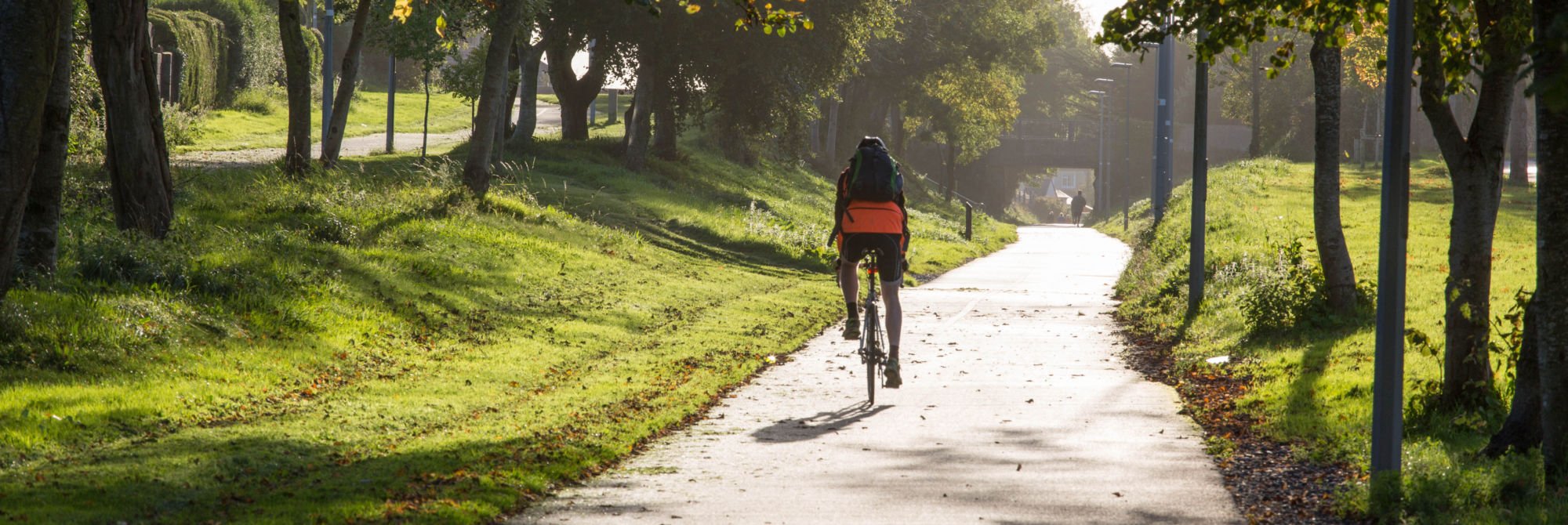
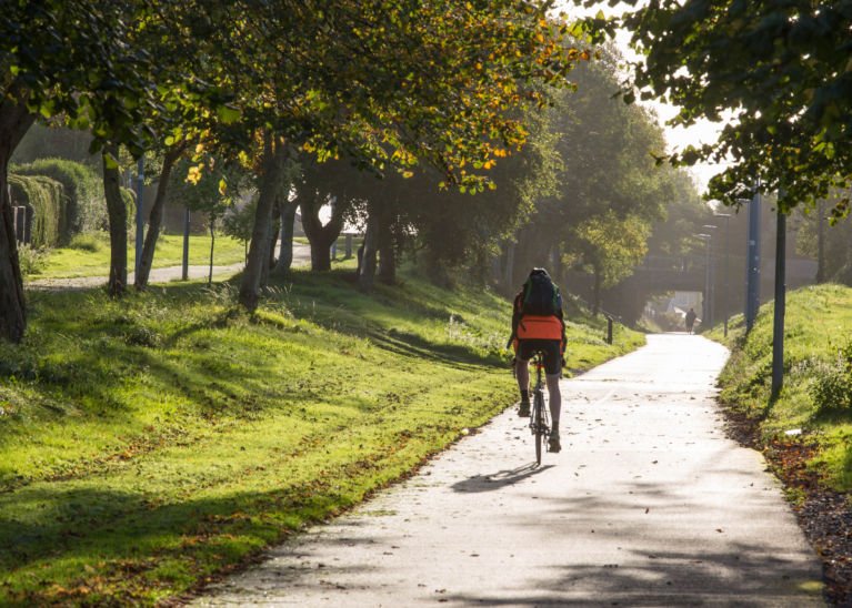
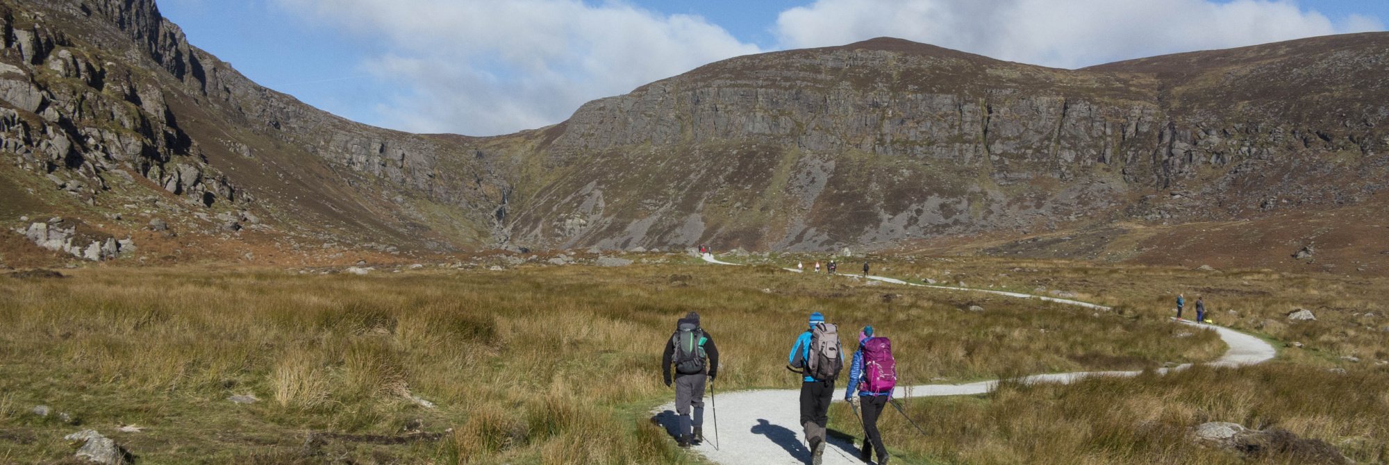
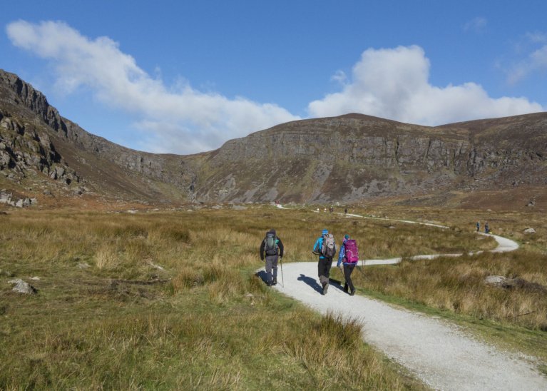
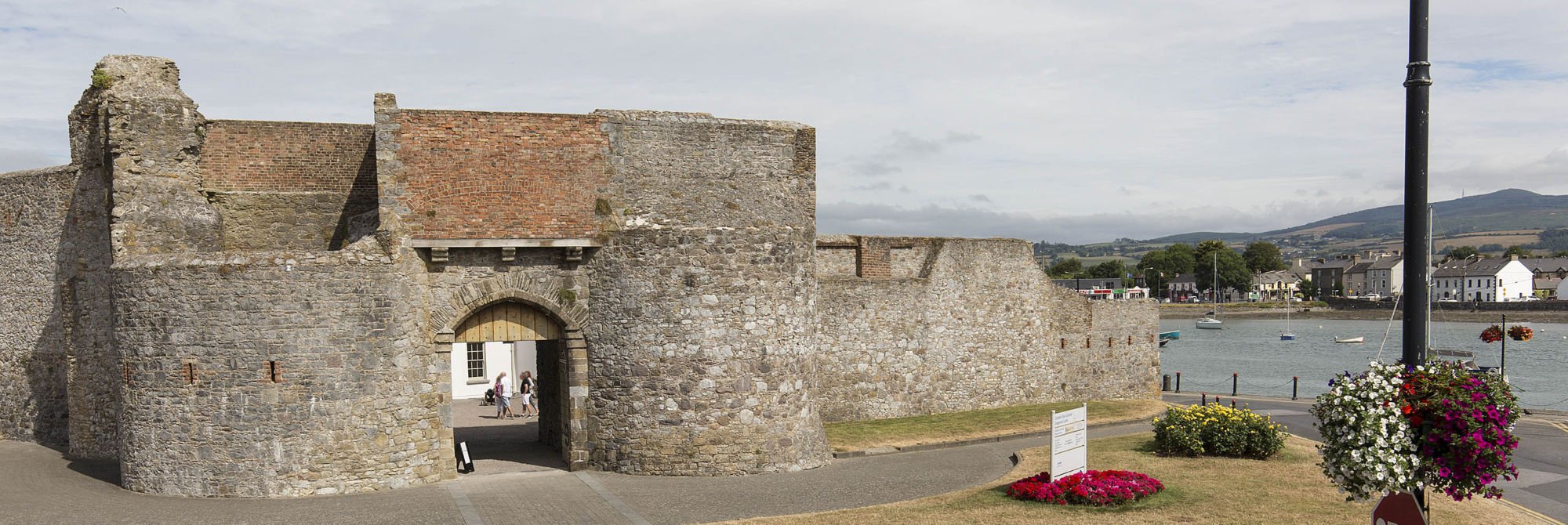
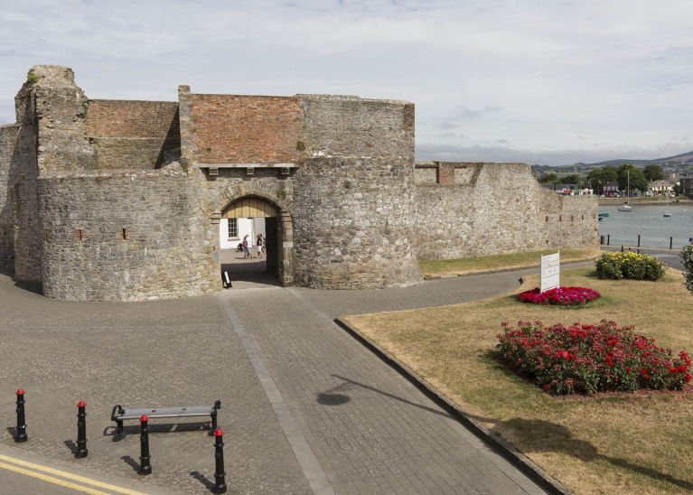
This is the official tourist information web site of Dungarvan Tourism. Dungarvan is a harbour town located at the heart of County Waterford, Ireland. It is an ideal base for any tourist wishing to tour or holiday in Ireland’s ‘Sunny South East’. There are lots of activities, places to see and things to do. So whether you want an energetic walk in the Comeragh Mountains, a bike ride along the Waterford Greenway or maybe just a relaxing coffee overlooking the harbour, then Dungarvan awaits you!
A Relaxing Break at the Seaside
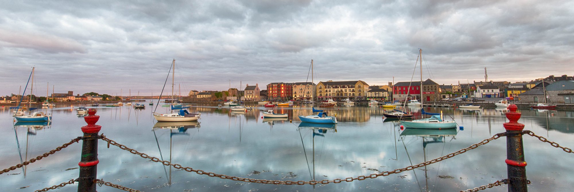
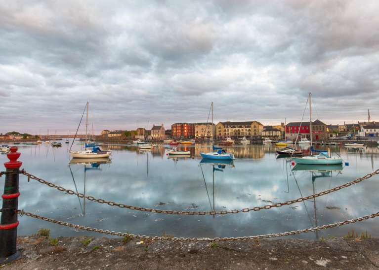
Dungarvan Harbour
The harbour at the mouth of the Colligan River is a real haven for local and visiting boaters.
The harbour at the mouth of the Colligan River is a real haven for local and visiting boaters.


