Walking time: 2.5 hrs.
Horseshoe:
Distance: 10km
Ascent: 600m
Walking time: 3.5 / 4 hrs.
Take the R668 out of Lismore travelling in a northerly direction; this is a very scenic route. Travel along this road ’till you meet the junction with R669 on your right, just beyond this junction it is possible to park close to a bridge and a derelict house.
Proceed uphill along a gentle slope with patches of short heather until you reach the summit of Cnoc Maol Donn: 793m.
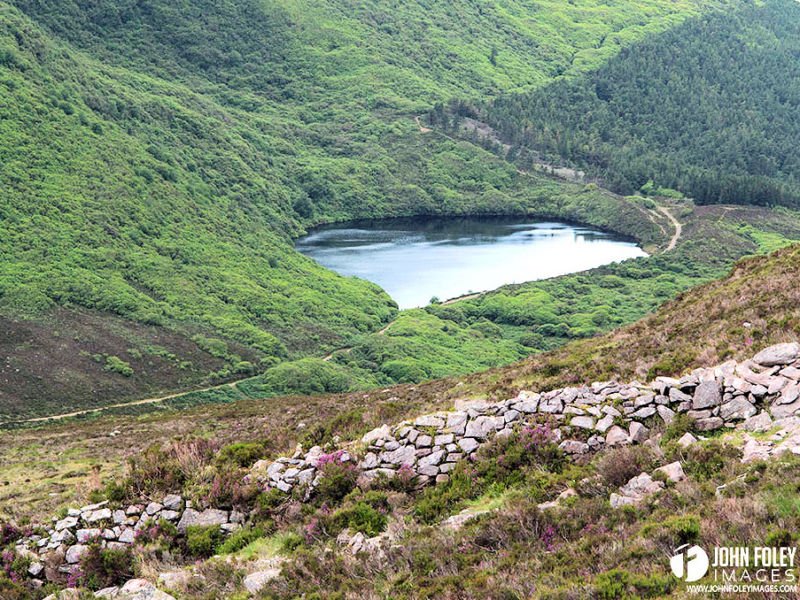
You may now continue on to the horseshoe or retrace your steps from whence you came. For the horseshoe descend in a north-westerly direction over heather along a wall to the col. Ascend the final 90m to the summit of the Sugar Loaf, a double cairned peak overlooking the plains of Tipperary. The section just travelled is the most spectacularThe ridge is at its narrowest and the views are superb.
From Sugar Loaf the descent is steep, follow a low wall to the large layby which is at the highest point of the Vee gap. At this layby is located a Mass Rock where Mass was celebrated during Penal times in Ireland. The return to the car park is by road.
Ordnance Survey Map, Discovery Series No. 76


